

The Arctic Circle
The Arctic Circle is a line close to the 66.5° parallels in the Northern and Southern hemispheres. It marks the approximate area in which the sun never rises in winter and never sets in summer for 24 hours or longer. It's where one can see the midnight sun.
To locate the Arctic Circle with accuracy it is necessary to calculate the latitude in relation to the angle between the earth's Axis and the plane of its ecliptic path about the sun. This angle is continually waxing or waning. The movement is called precession and repeats every 40 thousand years or so. Thus, the time between the highest and lowest latitude of the Arctic Circle is in the order of 20 thousand years. During the last 5 million years the highest latitude of the Arctic Circle was 68.0° and lowest 65.5° and presently the angle is waxing about 0.01° each century. A shorter fluctuation of the Arctic Circle, the nutation, is caused by the moon. It has an 18.6 year cycle with a deviation of 570 meters. Latitudinal minute in Grímsey is 1,859 meters and the average annual movement of the Arctic Circle is 14.5 meter or 0.0078 angular minutes.
Long ago the Arctic Circle crossed northern Iceland but it has since been steadily moving northward at an average pace of 1.5 km a century. Calculations show that it first made landfall in Grímsey in 1717 and has been consistently over the island since 1750. Between 2031-2038 it will be north of the island returning in 2039 before leaving finally northward in 2047 for a longer period.
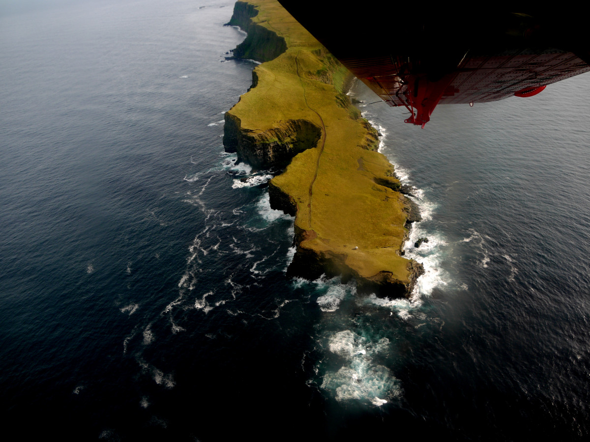
Latitude of the Northernmost tip of Grímsey: 66° 33,973'N
Latitude of the Southernmost tip of Grímsey: 66° 31,574' N
This text is based upon the calculations and writings of Þorsteinn Sæmundsson.
The walk from the harbor to the Arctic Circle is about 3.7 km and from the Airport to the Arctic Circle is about 2.5 km. A walk that takes about 3 hours (roundtrip). For further information about the Arctic Circle monument.
Information about the current position of the Arctic Circle and it's nature can be obtained here.
